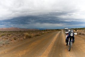
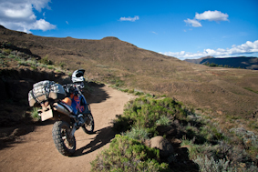
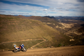
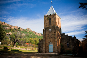
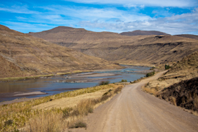
After finishing off my season working in the photographic industry in Cape Town, I felt a calling… It came from my garage where my KTM 990S had spent most of the summer. Having only done a few rides around the city (don’t tell my mother I ride it on the tar – occasionally!), it was time to take her out for her intended purpose.
That being trips to explore the best dirt roads this beautiful country has to offer.
I had spent the past 2 months, day dreaming and scheming in my head about where to go, what to take and who if anyone I could get to come with me. The destination had been determined when my girlfriend had informed me that she would be working in Durban for a period of 2 weeks and visiting her parents who I had not yet met.
A better excuse, I did not need, I was coming to visit and I would use the whole 2 weeks getting there and back! The route would have to include Lesotho, where I had done some enduro riding in October, and the former Transkei, one of those place where you know there is great off road riding but I have always seemed to fly past it on the way to other destinations. This time I was giving it 2 days of my time!
As one does, I had left all my preparation to be done the week before I left, so with a late last season job, taking up a few precious days I was starting to feel bit disorganized. When I discovered that my GPS wasn’t accepting my painstakingly created routes, 5 days before departure and with 2 of those 5 days been public holidays, my scheduled departure was a bit uncertain. Maybe I was been punished for being a hypocrite, as I had plotted my entire trip using GPS software. Previously I have plotted my trips using a map book and only really used the GPS on route, to help me find fuel or other important places like towns, when my mapping skills let me down. This time I was solely depending on the GPS for the entire 12 days, averaging 430km per day. I was hoping that this was going to be the easier option. Even if I was going to have to change the graphic on the side of my bike from 990 Adventure to 990 GPS!
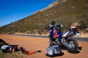
With 2500km ahead of me I set off at casual pace, my first hint of gravel would hit the rubber just after Villiersdorp, as it turned out that would take a lot longer than I had anticipated after a minor u-turn to take my first picture of the trip on the top of Franschoek Pass, I noticed the front tire going down, a short while later I was also noticing the short comings of my packing. Puncture fixing not being a regular past time of mine meant that I made a meal of my first mishap of the trip, so much so that a couple of guys interrupted their Breakfast super bike run to come to my aid. That fact that they were on BMW’s and myself on a KTM was not lost to them and some of the usual inter brand banter was exchanged. After putting my tire lever through my spare tube and not been able to patch my first tube because I was using slime in the inner tube I was having to come up with a plan to prevent my trip from falling apart before it had really started. After a 4hour debacle I was able to find a second hand tube get it fixed and get back on the road.
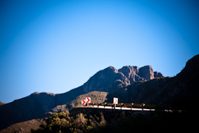
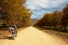
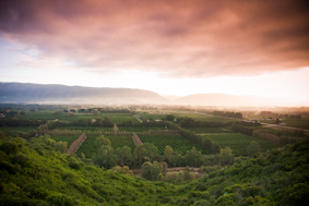
After only really getting going around 2.30pm and with 500km plus still to do I was doing my best to remain optimistic that I could make up all that lost time. Just outside Montague I was finally on the proper dirt I had been waiting for. The Anysberg Nature Reserve that lies between Touws River, Lainsburg and Ladismith is a spectacular 62500ha reserve and has some of the most fun and picturesque riding in the Western Cape. The vegetation transitions between mountain fynbos and typical Klein Karoo veld. From red dirt to pebbled rocky stream crossings winding its way towards the Klein Swartberg Mountain range. The reserve has lots of game to lookout for and I was fortunate enough to witness some Gemsbok gliding through this magnificent landscape. Needless to say I was finding my groove, admiring my surroundings and starting to realize that I would not be making Prince Albert before sunset, so I decided to head for Ladismith instead, that way I would still finish my day in day light and could tackle the Swartberg Pass in the light of day the following morning. Coming up 160km short of my intended destination, meant I had covered 418km and I was happy with that and settling comfortably into “Trip” mode. I found comfortable accommodation at the Mountain View Guest House, took the edge off with a well-deserved beer and settled in for the night.
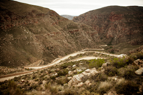
Day 2 started off with good weather and a short tar stretch from Ladismith to Calitzdorp. Turning off the R62 and heading parallel with the Groot Swartberg Mountains towards the Cango Caves was one of the most fun sections of riding of the day, winding its way on narrow roads sometimes only wide enough for one vehicle towards the spectacular Swartberg Pass. The weather was starting to turn and looking back towards Cape Town showed signs of a looming thunderstorm. The Swartberg Pass takes you up to an elevation of 1585m and through a World Heritage site of the Swartberg Nature Reserve. This areas dramatic scenery is exaggerated by the climatic extremes experienced in this region with this pass often closed in the winter months due to snowfall and experiencing sweltering temperatures of over 40degrees in the summers. I had obviously timed my trip perfectly and didn’t have to worry about either as I wound my way down the switchbacks towards Prince Albert. I didn’t have time to experience any of the Prince Albert Olive Festival that was taking place as I was still playing catch up from the previous days misadventures.
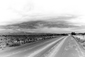
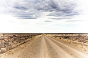
After refueling, a cup of coffee and a toasted sandwich from one of the many quaint roadside restaurants I was back on my way and heading towards the Mohair district and the Eastern Cape. I could see ominous dark grey clouds in my rear view mirrors as I raced through the fast open Karoo district roads heading for Aberdeen, I was taking the least direct route and fuel was always in the back of my mind, so when I came in to the small town of Riet Bron, I thought I would try my luck finding some fuel for peace of mind.
As it turns out only 20 houses in the small village are occupied full time, the local Angora goat farmers apparently keep houses in the village for weekend gatherings and a shared love of tennis, and I stopped outside the right one. His neighbor owned the local shop. It was a public holiday but he was able to reach him on the phone just as he was leaving town. Been a past biker himself he gladly turn around to get me topped up on fuel.
It wasn’t long after that, that I was in for misadventure no.2 of this trip, the fast smooth dirt roads were punctuated with the occasional dry flash flood streams, some of them just dips in the road and others small concrete channels. They come up pretty quickly when your are trying to out run the weather and I hit one that was a big square edge sticking out the road surface, bucking the rear of the bike violently into the air, I did everything right to limit the disruption to the bikes path but as I glance back at the obstacle I saw my beautiful expensive new BMW bag tumbling through the grass that lined the roadside. Two broken buckles that secure the bike to the luggage rack and two clips ripped right off the bag. It was time to improvise and with my one spare tie down a cargo net and the remains of the buckles I was able to make up a system that secure the bag back on the bike.
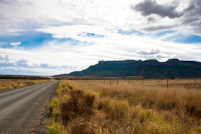
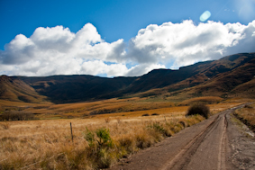
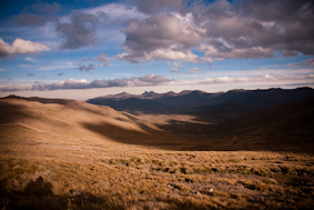
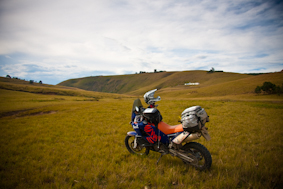
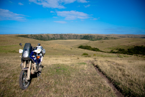
Approaching Aberdeen I had noticed a mountain on the map called Sleeping Giant with an altitude of 1777m, I was now in the Eastern Cape and the dry Klein Karoo vegetation had turn into beautiful yellow grasslands, the silhouette of the Sleeping Giant was visible from miles away and my decision to put it on my route as a destination was rewarded with some beautiful pictures and a welcome rest.
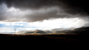
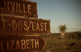
The road from Aberdeen to Jansenville took me South, into the heart of the Mohair District, along some great riding roads, crisscrossing and winding it’s way along the Sunday’s River. Heading North East after refueling in Jansenville and I was starting to run out of light, the approaching storm was getting the upper hand on me. Without a direct off road route to Somerset East I was trying to zigzag my way to my final destination of the day, banking on the extra 45min or so of sunlight after sunset that I’m so used to having living at the coast. Unfortunately for me it was pretty much dark even before the sun had officially set and some confusing directions from a local herd boy on horse back had send me up a farm road with no way out, I turned around rode back into the thunder and lightning that had been chasing me the whole day. The last 45mins were cold, wet and in the dark before I finishing a mammoth 658km day.
In the morning I was back on my scheduled route, the weather had cleared but the roads were still wet and clouds were still looming around the Boschberg Mountains. It was a surreal experience as I made my way over the Devil’s Bellows Neck Pass through the clouds and mist and out into the beautiful valleys that lay on the other side. The pass was rough, rocky and looked like it was hardly ever used, this it what my trip was about!
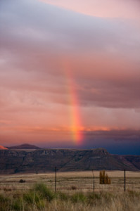
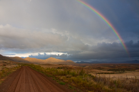
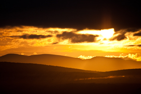
The roads dried up for most of rest of the day and I was looking like I was on schedule to completing my first day according to plan. The scenery was spectacular and I was really in a great rhythm going over Killians Pass heading towards Barkly East and Lady Grey, the weather was changing again and I could see small pockets of rain shifting around the mountains. A slow front puncture slowed my progress and with only an hour left of light I opted to ride it till it was completely flat instead of wasting time trying to change the tube for my dodgy spare. A decision that was rewarded with one of the most amazing sky’s I have ever seen, from red mountains, incredible cloud formations and a vertical rainbow.
I was limping the bike to Barkly East but couldn’t prevent myself from stopping to take pictures of the paradise that was surrounding me. I arrived in Barkly East and checked myself into the Old Mill Inn, I had done 510km and once again come up short. It was getting cold and dark I decide that fixing my puncture would have to wait till the morning.
I could feel I was getting close to Lesotho as I awoke the following morning, the air was crisp and fresh. I layered up and set out to find the local garage to fix my puncture. The shops tire guru and all round handyman was a chap by the name of Rasta, he was meticulous in his work and was even able to fix my dodgy slime filled spare tube. I was once again behind schedule and almost decided to skip the off road route from Barkly East to Lady Grey, what a mistake that would have been. I would have missed the third highest pass in the country. Joubert’s Pass has a 1:6 gradient and the summit is at 2349m with a spectacular view down to Lady Grey. It was a great way to get the day going and some of the best riding of the trip so far. I had some confusion with my GPS and my planned route heading away from Lady Grey and heading for the Lesotho border, trying to recalculate the route looking at the map on a small screen while riding wasn’t working too well for me and I was a bit disappointed that I was spending so much time on the tar, I crossed into the Free State and was getting a little too close for my liking to where I had had a run in with a cow coming back from my previous trip to Lesotho.
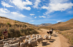
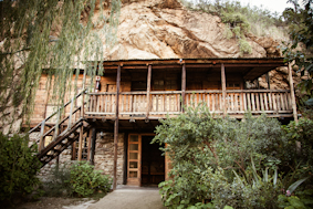
About 40% of Lesotho’s population, live below the poverty line and the contrast between two countries wealth was evident as I cross the border at Sephapo’s Gate. My destination for the night was the Ramabanta Trading Post. I had stop there when I had been riding enduro bikes in Lesotho with a group of friends training for the Roof of Africa Rally, about 6 months prior. It’s situation nestled above a beautiful river with water falls flowing into the valley below and its view across to the famed Baboon’s Pass and sparked my desire to come back and stay in one of it’s quaint stone cottages.
Getting there was seeming to be a piece of cake as I was on pretty average gravel roads, there one small concern though, I was 40km away and the GPS was telling me it would take me 2 hours. Surely it couldn’t be true, I was thinking to myself, I was starting to recognize the area as I turned onto what the GPS called a bike track, finally some of the great single track that Lesotho is famed for. Soon I was 20km away from Ramabanta and still with 1h15 min to go, I was going to show the Garmin how wrong it was… That was until I went past the corner where I had crashed a 250cc 6 months before, still bearing the scars of that incident I headed down a steep rocky trail heading for a river crossing, I was sure I would not have been able to go back up the way I had just come so crossing the river was the only choice, things started getting tough very quickly, I was on a trail that tracks4africa calls “Roof of Africa – Round 1” with a bike weighing close to 250kg, I had to pick my lines well in advance and not make any mistakes on the steep rock incline. I think I would have enjoyed the technical riding a whole lot more if I hadn’t been on my own, the consequences of dropping the bike out there with no one around to assist me picking it up, almost over whelmed me. I focused myself picked my lines with precision and ascended my way back to the safety of gravel a road and the descent down to Ramabanta. It had taken me almost 7 hours to travel 348km, so the GPS’s prediction had been pretty accurate after all. I had also dropped the bike for the first time on this trip and had some running repairs to attend to.
After a great stay at the Ramabanta Trading Post I set off for Sani Top Chalet, 358km away and traversing almost the entire country. Lesotho was a challenge to get the right kind of riding, if you venture to far off the main roads on a big adventure bike you can get yourself into some serious trouble, finding the good in between riding is time consuming something I didn’t have too much of on this day, so I spent the first 120km on tar roads. It was disappointing at first until I realized what I was experiencing.
Lesotho must have a combination of some of the worst roads in the world and also some of the best. As I was winding my way through the 70km of perfect mountain passes I could help thinking of an episode of Top Gear where Jeremy Clarkson and crew go looking for the best driving road in the world. I was surely on it, no cars, no people, immaculate road surface except for the odd bit of cow dung, this must be Africa’s best kept riding secret! These roads were built to transport the materials used to build the Mohale Dam, part of the Lesotho Highlands Water Project and since then have hardly been used. Once I was back on dirt I was in the middle of the country, sparsely populated, the roads were tough on my hands, the road surface was hard with lots of buried stones.
I had lucky escape after crossing a concrete water drift that was situated on the apex of a corner, the water had obviously been standing and the surface was covered in slippery algae as I hit it the bike started drifting and continued sliding a full 180 degrees, it all happened so fast I was still on the foot pegs as the bike came to rest facing the wrong direction, not a scratch on me! Shew!
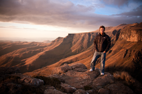
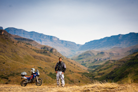
I refueled in Mokhotlong and then continued climbing to the highest elevation of my trip, 3246m at the top of Black Mountain. I was filled with nostalgia as I recalled my time living at the top of Sani Pass as part of a 6-week altitude training camp and mountain biking up this pass. It was a scary thought as it was still so vivid in my memory and almost half my lifetime ago. A short while later I arrived at the Sani Top Chalet, the highest pub in Africa and the most majestic view looking down from the escarpment.
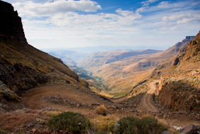
I was up early the following morning to catch the sunrise in this incredible place, it was freezing cold but well worth the blue lips and numb hands. Looking down the mountain I had a perfect view of the Sani Pass weaving it’s way, switchback after switchback down to Himville below.
Rumor has it that this 4X4 only road is going to be tarred in the not to distant future and I think you will find a trip up the pass before this happens, on most adventure bikers wish list.
The actual pass lies in no mans land with the Lesotho border post at the top and the South African border post at the bottom of the Mountain. I made short work of it coming down and it wasn’t long before I saw evidence substantiating the rumors, massive road works lead me all the way to Himville.
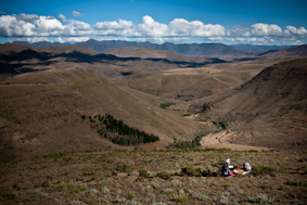
I had decided to follow the foot of the Drakensburg Mountains before heading for the coast once again rewarded with amazing riding and spectacular views of this impressive mountain range.
After the 50km detour I turned east and followed the Midlands Meander through the beautiful farmlands until reaching my final destination of Amamzimtoti. The trip north had been just over 2598km and I was looking forward to seeing my girlfriend and meeting her family.
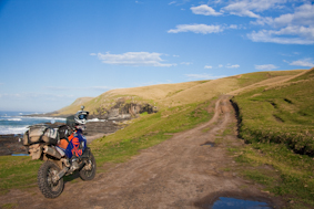
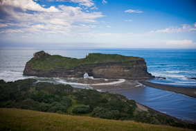
After a 3 day break and fitting a set of new tires in Durban I loaded up the bike again and prepared myself for the return trip to Cape Town. This time I was heading down the coast and I was hoping to find some exciting riding in the eastern Cape
